Effective Strategies for Soil and Groundwater Remediation: A Comprehensive Guide
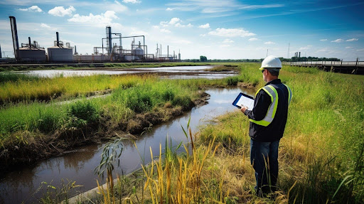
Soil and groundwater contamination poses significant challenges to human health and the environment. As the three primary pillars of environmental remediation, soil and groundwater remediation are critical to mitigating contamination risks and restoring ecological balance. These practices address contaminants introduced through industrial spills, improper waste disposal, and site contamination, which otherwise leave behind harmful […]
Numerical modeling of ground behavior
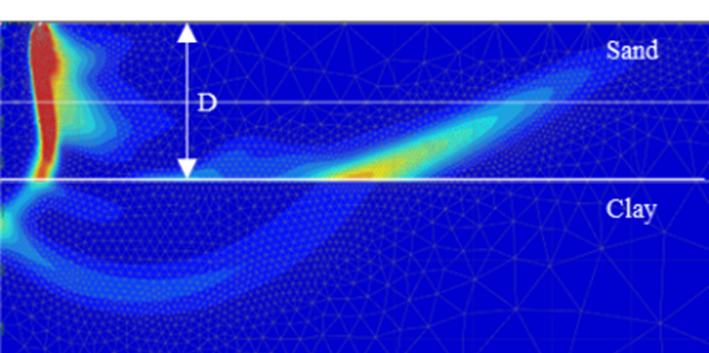
The Role of Finite Element and Difference Methods. Why Ground Behaviour Modelling Matters In ground engineering and construction, one of the most complex and critical challenges is predicting how the soil conditions and ground behaviour will respond to loading and excavation. Numerical modelling techniques such as the Finite Element Method (FEM), Finite Difference Method (FDM), […]
Engineering Properties of Alluvial Soils
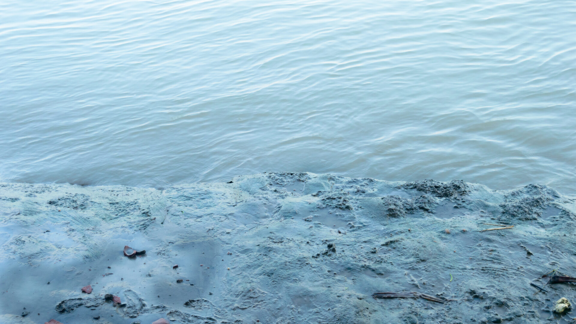
The modern cone penetration test provides a rapid and reliable method of profiling soil conditions, and is particularly suited to alluvial sediments such as encountered in many parts of the Newcastle area. Numerous empirical and theoretical methods have been developed to relate measured cone parameters to various engineering properties. This paper presents the results of […]
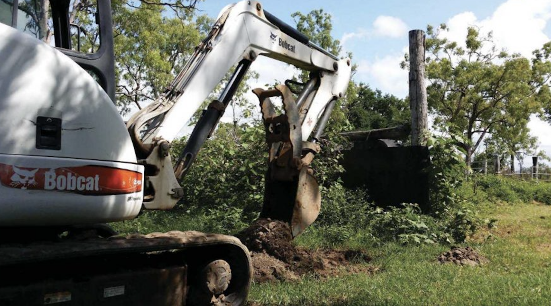
Could asbestos be present on your site?
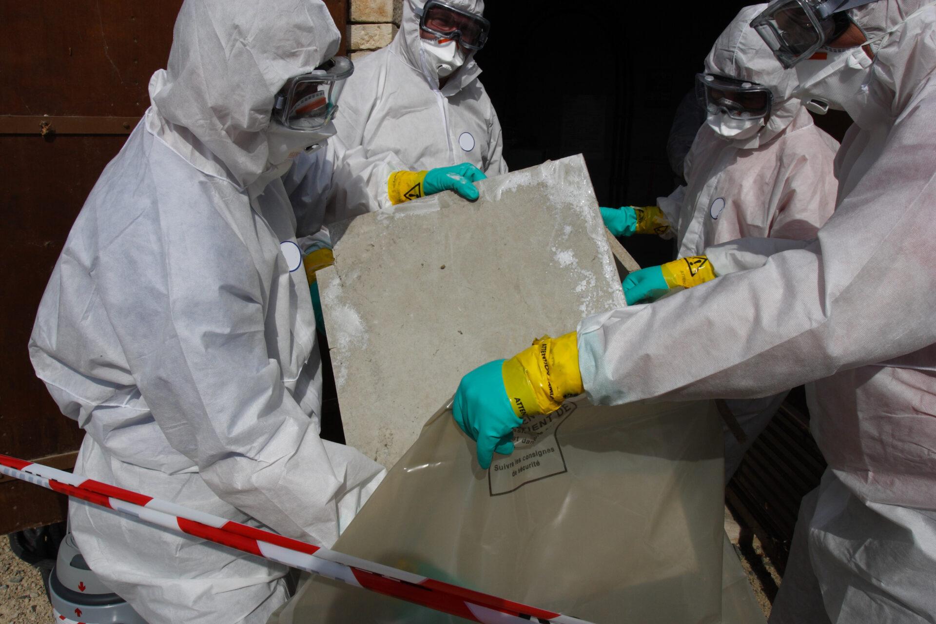
Asbestos is a naturally occurring fibrous silicate mineral that was widely used in Australia in automotive, building, construction and other materials (e.g., textiles) for its superior heat-resistant, and insulating properties. The use of asbestos was banned in Australia in 2003, but given the wide use before this time, asbestos-containing materials (ACM) may still be present […]
Land contamination poses threat to residential development
Comprehensive Contaminated Land Risk Assessment and Site Investigations Addressing land contamination requires a structured approach to contaminated land risk assessment that ensures environmental safety and regulatory compliance. Our experts conduct preliminary risk assessments and detailed quantitative risk assessments to evaluate potential hazards associated with contaminated soil, groundwater contamination, and vapour intrusion. Utilising the latest tools, […]
MASW: An Overview of Methods and Applications using Multi-channel Analysis of Surface Waves
What is Multi-channel Analysis of Surface Waves (MASW) Multichannel Analysis of Surface Waves (MASW) is a geophysical technique used for subsurface exploration. It focuses on measuring surface waves (specifically Rayleigh waves) that travel along the Earth’s surface to determine the shear wave velocity profile of the subsurface. MASW is most often undertaken using a vehicle […]
Seismic Refraction Surveys: An Overview of Methods and Applications
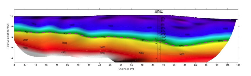
What is Seismic Refraction Seismic refraction is a geophysical method used to investigate the subsurface properties of the Earth by analysing how seismic waves travel through it. It relies on the principle that seismic waves change speed when they pass through different layers of material with varying densities and elastic properties. In this method, seismic […]
What is Ground Penetrating Radar (GPR)? How It Works and Common Applications
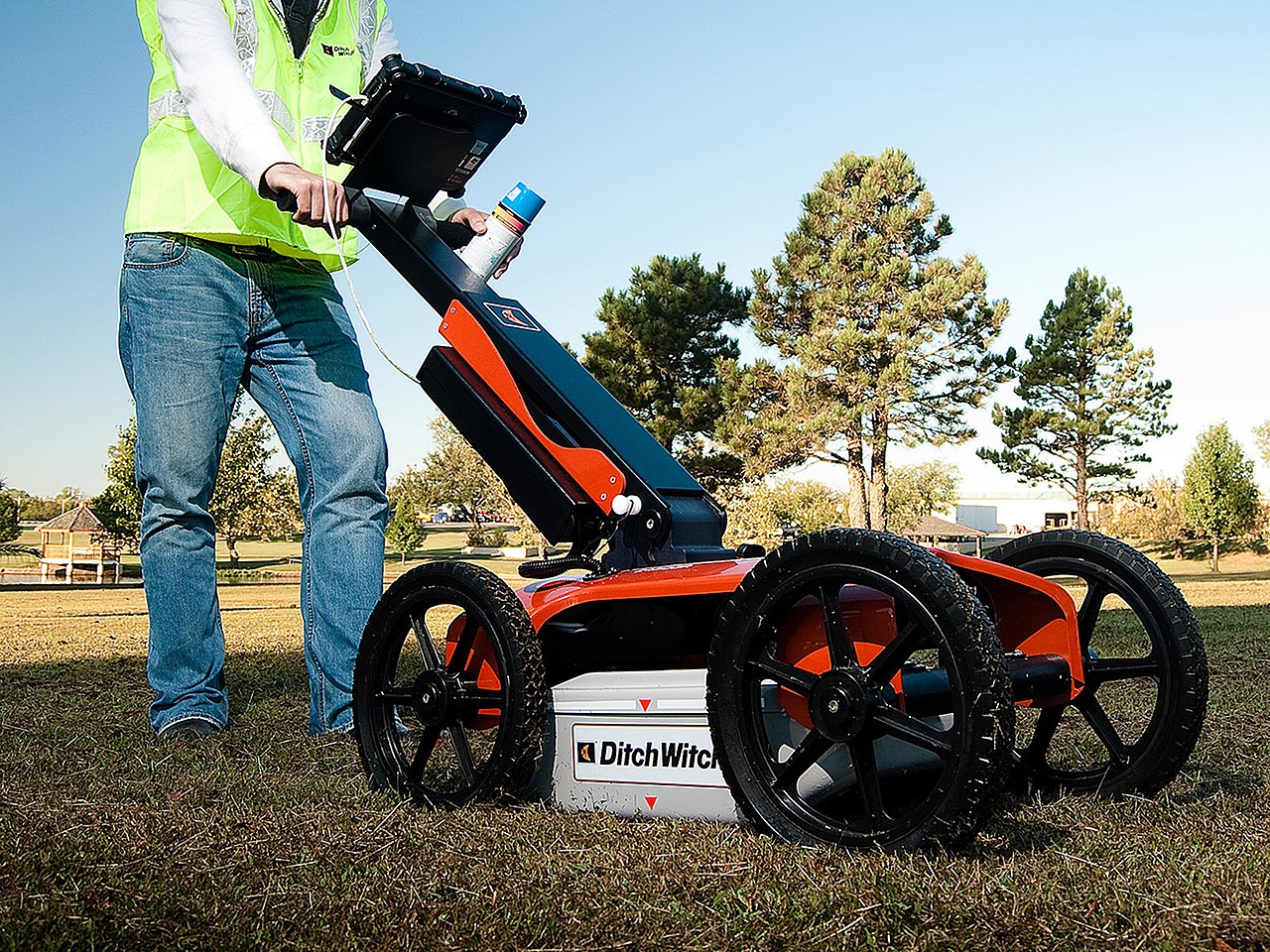
Using GPR equipment, professionals can conduct ground probing radar surveys to detect buried utilities, assess soil conditions, and locate potential hazards. This non-invasive method ensures that project sites remain undisturbed while providing detailed information on subsurface anomalies. Through GPR scanning, stakeholders can identify underground utilities, voids, and other critical features that traditional methods might miss, […]
Douglas Partners Teams Up with A-CAES
Innovative Energy Storage Project at Potosi Mine – Silver City Energy Storage Facility Douglas Partners is thrilled to announce our collaboration with Hydrostor on a groundbreaking project deploying advanced compressed air energy storage (A-CAES) at the Potosi Mine, located on Silver Peak Road in Broken Hill, NSW. This project, known as the Silver City Energy […]
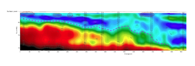
Electrical Resistivity Tomography (ERT): Understanding Its Use in Geophysical Surveys
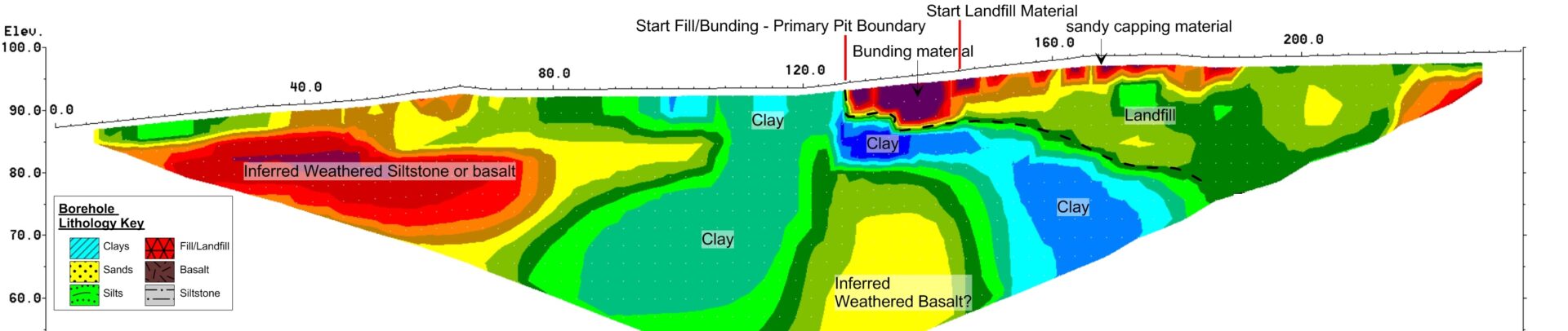
What is Electrical Resistivity Tomography (ERT)? Electrical Resistivity Tomography (ERT), also known as electrical resistivity imaging (ERI), is a geophysical method used to determine the electrical resistivity distribution of the subsurface. By measuring resistivity variations, it is possible to generate a detailed resistivity profile of the underground environment. This technique is widely used in geotechnical […]