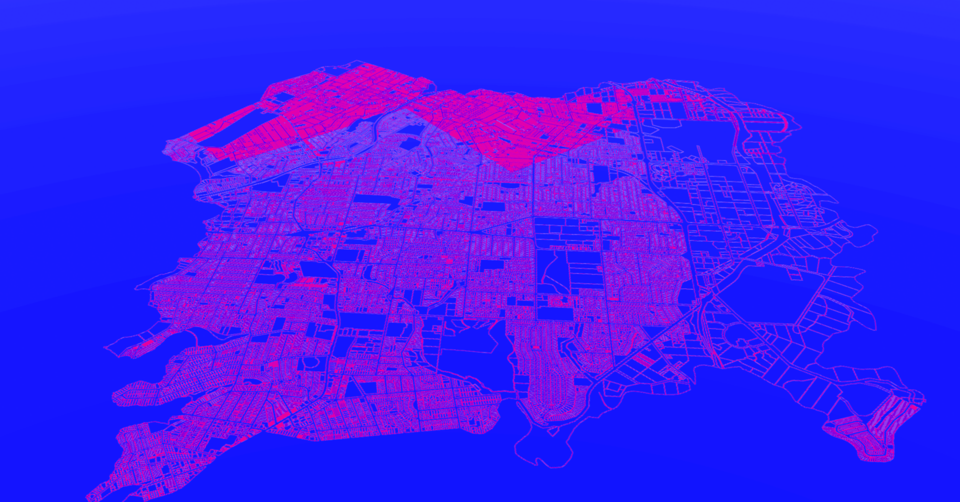
With a remarkable 60-year track record in geotechnical borehole drilling across Australia, Douglas Partners has established a strong presence in nearly all major hubs.
Our extensive operations have yielded an invaluable collection of historical geotechnical boreholes, surpassing an impressive count of more than 1 million, and continuing to grow. This rich database serves as a testament to our unwavering commitment to “Expertise from the Earth’s Surface Down.”

Thanks to our seamlessly integrated GIS interface, Douglas Map, our team can effortlessly access and leverage this wealth of information. This ensures that our clients benefit from efficient and reliable insights that inform their decision-making processes.
By drawing from data obtained in previous boreholes, we gain valuable knowledge about the likely ground profile, rock depth, groundwater conditions, and geotechnical properties specific to a given site. Such information proves instrumental in conducting preliminary design and planning activities.
It is important to approach historical data with caution, as changes in site conditions over time—such as logging standards, earthworks or alterations in groundwater levels—may impact the validity of the data. Therefore, it may be necessary to supplement and verify the existing data through new borehole investigations.

